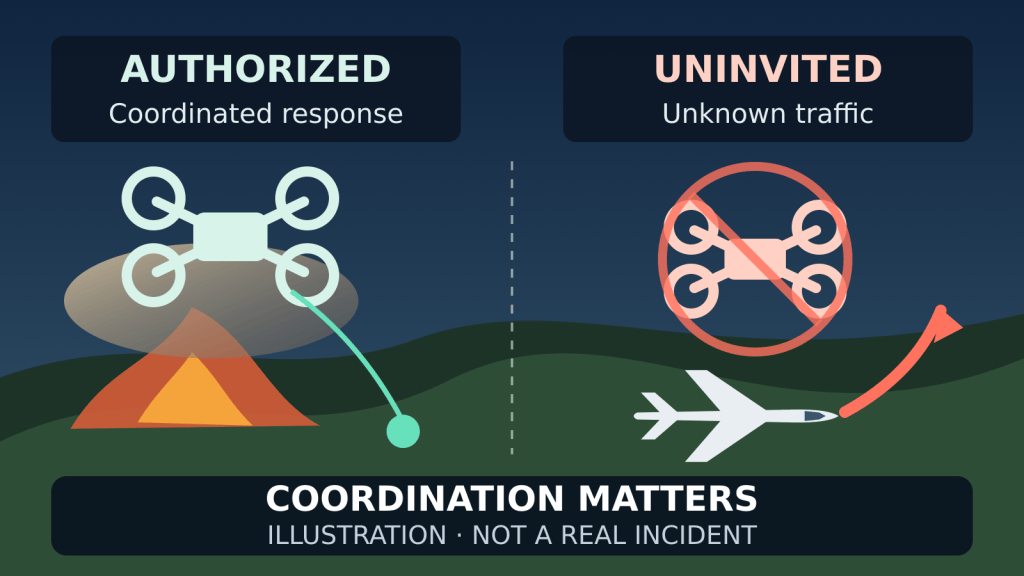
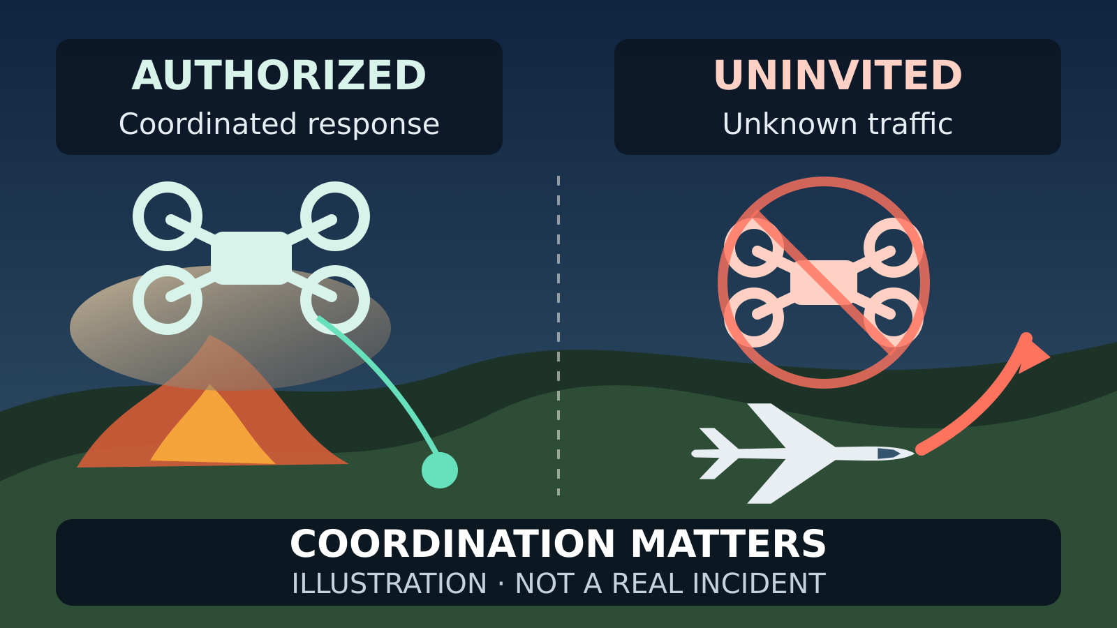
Smoke on the horizon creates an understandable impulse: put a camera in the air and find out what is happening. At a wildfire, that impulse can collide with an aviation system already working close to the ground, under pressure, with little room for surprise.
The apparent contradiction is real but resolvable. Fire agencies increasingly use drones to map perimeters, find hotspots and support night operations. At the same time, authorities tell the public not to fly drones near wildfires. The difference is not the aircraft. It is whether the flight has a mission, authorization and a place in the incident’s airspace plan.
This distinction matters because “drones are useful at fires” is not permission to improvise a useful-looking flight.
The same technology can be an asset or an unknown hazard
The US Federal Aviation Administration’s UAS in Wildfire Response page, last updated 23 January 2026, describes agency drones being used for persistent monitoring, fire-perimeter mapping, hotspot detection, infrastructure assessment and tactical support. The page also points to the National Interagency UAS Program, which integrates these flights into wildland-fire operations through training, risk management and coordination procedures.
That coordination is the central fact. An incident drone is not simply a consumer aircraft with a public-service label. Its crew is expected to operate inside the response structure, communicate with aviation supervision and remain separated from crewed aircraft.
The National Wildfire Coordinating Group’s April 2025 UAS standards make the point operationally: incident UAS crews should not fly until they have established positive contact with on-scene aircraft or aerial supervision, and they must maintain separation. Those instructions are for trained response operations, not a route for a bystander to self-assign a mission.
An unannounced drone has none of that context. An airtanker or helicopter crew may not know who controls it, where it will move next, whether the pilot can hear instructions or whether the link will fail. Avoiding that uncertainty can mean pausing the crewed-aircraft operation.
Why a small drone can stop much larger aircraft
It is tempting to compare size: a quadcopter weighs a few kilograms, while a tanker or helicopter is vastly larger. Aviation risk is not decided by weight alone. Firefighting aircraft may be manoeuvring at low altitude, in smoke, turbulence and reduced visibility. Their crews are already managing terrain, other aircraft and a demanding task.
The FAA said after a drone struck a firefighting aircraft over the Palisades Fire that response agencies often ground their aircraft when drones are seen nearby to avoid a mid-air collision. The agency’s statement explains the consequence plainly: delaying the airborne response threatens firefighters, residents and property, and can allow the fire to grow.
This is why “I will stay well below the helicopters” is not a safety plan. Fire aircraft can descend, climb, turn or change routes as the mission changes. The public drone pilot does not have the traffic picture or radio coordination used by the incident’s aviation team.
Nor is “I only need one quick shot” a meaningful limit. The disruption begins when the unknown aircraft is detected, not when its battery runs out.
A TFR is a controlling notice, not the whole safety boundary
The FAA can issue a Temporary Flight Restriction, or TFR, around a wildfire. Its drone guidance, last updated 10 March 2025, says TFRs are communicated through NOTAMs and restrict aircraft, including drones, from operating without permission in a defined area for a limited time. Pilots are told to check NOTAMs before flight.
But the absence of a TFR on a screen should not be read as an invitation to approach a fire. A restriction can be changing, an app can lag or simplify the controlling notice, and emergency aircraft can be working outside the boundary a casual observer expects. More fundamentally, interfering with emergency response is the hazard the restriction is designed to prevent.
This article therefore adds a different lesson from our earlier explanation of the US-Mexico border drone TFR. That article asks how a pilot reads a specific security restriction and its controlling NOTAMs. The wildfire question is operational: why authorized drones may be present while an uncoordinated flight remains dangerous, and why waiting for a map warning is too narrow a decision rule.
Authorization is possible, but self-deployment is not authorization
Public-safety agencies and some other qualified operators may have legitimate reasons to fly during an emergency. The FAA’s TFR page says public-safety officials and media seeking access must hold the appropriate Remote Pilot Certificate or Certificate of Authorization, coordinate with the controlling agency and use the Special Governmental Interest process where applicable.
That is a formal path. It is not the same as calling a flight “volunteer mapping,” posting that help is available or holding a Part 107 certificate. A certificate establishes that a pilot has met a regulatory requirement; it does not place an unscheduled aircraft into an incident’s airspace plan.
If an organization genuinely needs drone support, the safe sequence begins with the incident command or responsible public agency. The aircraft, crew, mission, communications and operating area need to be accepted and deconflicted before launch. A well-equipped pilot who has not been assigned and coordinated can still be the unknown traffic that stops other aircraft.
The enforcement record is not theoretical
On 6 February 2026, the FAA published an enforcement summary covering unsafe and unauthorized drone operations. It said the agency had levied fines ranging from $1,771 to $36,770 for 18 operations with violations occurring from 2023 through 2025. The largest figure listed was $36,770 for a drone operation near emergency-response aircraft during a wildfire on 4 April 2023.
The same release says the FAA’s 2026 enforcement policy requires legal action when drone operations endanger the public, violate airspace restrictions or further another crime, and that unsafe or unauthorized operators can face civil penalties up to $75,000 per violation as well as certificate action.
Those amounts are US enforcement facts, not a universal penalty table. Other countries have their own aviation and emergency-response laws. The broader point travels: a dramatic scene does not lower the burden on a remote pilot. It raises it.
What a responsible pilot does when smoke appears
Do not launch for a better look. Aerial curiosity is not an emergency mission. Use official incident maps, local alerts and public-safety information instead.
If already airborne, move away and land safely. Do not fly toward smoke, emergency vehicles or low-flying aircraft. Yielding to crewed aircraft remains fundamental.
Check the controlling sources, not only the app interface. In the United States, consult current FAA TFR and NOTAM information. A planning app can be useful, but a colored overlay is a summary, not the entire operating picture.
Do not assume that a commercial certificate grants emergency access. If a public agency requests support, coordinate through the responsible authority and follow the authorization process for that exact operation.
Keep the camera on the ground when the status is unclear. There is no image worth introducing unknown traffic into a low-level firefighting operation.
The useful drone is the one the incident can account for
Wildfire response is a strong case for drones. They can collect information without placing a person in the same location, work at times when some crewed-aircraft operations are constrained and give teams another view of a changing fire.
Those benefits do not come from the word “drone.” They come from an aircraft being assigned, authorized, communicated and separated from other traffic. Remove that structure and the same device becomes an uncertainty that the rest of the operation must manage.
For the public, the rule is simpler than the technology: if you are not part of the coordinated response, keep the drone away. Let the aircraft that the incident can identify and control do the flying.
Scope note: This article covers United States federal sources checked on 22 October 2026. It is a safety explanation, not legal advice, an airspace authorization or an account of a flight test, site visit or interview. Rules and active restrictions can change; consult the current authority for the proposed location and time.


Leave a Reply