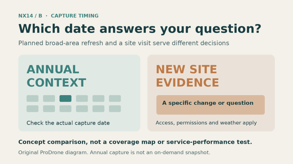
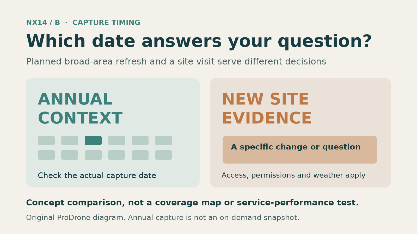
An annual image of a thousand properties and a new image of yesterday’s damage answer different questions.
A property insurer evaluating thousands of roofs, a local government reviewing its roads and a construction team documenting yesterday’s excavation all need pictures from above. They do not necessarily need the same kind of pictures.
That distinction matters after Nearmap’s October 13 announcement of Nearmap Reach. The company says the new offering will collect aerial images at 4 centimetres per pixel, with annual refreshes over new US coverage areas. Added to its existing Nearmap Core footprint, the programme is expected to reach 97% of the US population and 95% of buildings.
Those percentages have an important time condition. The expanded capture programme is scheduled to begin in January 2027. The headline is a plan for coverage with another product, not a claim that the new image coverage already exists everywhere today.
Start with the capture date, then the pixel size
Nearmap’s 4 cm figure describes ground sampling distance: roughly how much ground an image pixel represents. It is not, by itself, a positional-accuracy certificate or a promise that a four-centimetre defect will be identifiable.
We have examined that distinction in our separate article on RTK, checkpoints and map accuracy. Here, the buying decision is different. Even a suitably detailed image cannot show a change that happened after it was captured.
Where a national aerial-image programme changes the economics
Imagine an insurer assessing a portfolio of thousands of properties distributed across counties. Commissioning individual drone visits to every address would be slow and expensive. Consistently refreshed aerial imagery, delivered through an API or mapping platform, may answer many early questions without sending anyone on site.
Nearmap says Reach will use its HyperCamera4 capture system and run new areas through more than 130 AI property layers. It also says the product will be available through delivery channels customers already use, rather than requiring an unrelated interface.
That makes the announcement as much about workflow as imagery. An underwriting system that already consumes aerial property data may benefit more from an expanded footprint and an annual update cycle than from another small improvement in visual sharpness.
Nearmap says capture plans and timing will be announced as the launch approaches. An advertised national percentage is not a guarantee that a particular address will have fresh imagery on a date chosen by a buyer. Pricing has not been independently verified for this article.
Three jobs where a site visit may still matter
A problem that happened yesterday. An annually refreshed image cannot document damage after a storm that struck last night if that area has not been captured again. A local, authorised drone survey—or other timely on-site evidence—may answer the immediate question better.
A measurement that must withstand a survey audit. A designer may need ground control, checkpoints, datums, uncertainty statements or outputs from a prescribed survey method. Pixel size alone does not substitute for that evidence. A drone photogrammetry workflow can be designed around those controls when the project and local rules permit it; so can other survey methods.
Details hidden by the view from above. A top-down image can miss facades, sheltered surfaces and certain roof geometry. A specialised inspection may require oblique images, different sensors or direct access. Aerial images are only one part of the evidence.
None of this means small drones are always the answer. Site access, airspace permissions, weather, privacy and safety can make an individual drone visit inappropriate. Equally, national imagery won’t replace every close-up task.
The more useful question to ask a mapping vendor
Rather than asking “Is 4 cm better than my drone?”, ask which decision the imagery is supposed to support.
For a nationwide property risk screen, consistency and breadth may dominate. For a construction progress dispute, capture date and measurement traceability may matter more. For a roof defect claim, view angle and the visibility of the actual defect could be decisive.
Before buying a service or planning a flight, ask for the capture date and actual coverage of the area, the product’s positional-accuracy specification where applicable, the data licensing conditions, and the intended use limitations. If an AI-derived layer flags an issue, establish how that finding was validated and what uncertainty remains.
The announced programme may help a buyer screen many dispersed properties without commissioning a separate visit to each one. A site visit earns its place when the broader dataset cannot answer the particular question: the change is newer than the capture, the needed surface is hidden, or the measurement needs evidence the product does not provide.
Visual disclosure: original ProDrone comparison diagram, not a coverage map or a measured service-performance result. Text and diagram prepared with AI assistance.
Primary references (newsroom rechecked 21 October 2026)
- Nearmap newsroom, 13 October 2026, Introducing the first 4 cm capture programme covering 97% of the U.S. population: https://www.nearmap.com/au/newsroom/introducing-first-4cm-capture-program-covering-97-of-us-population

